From the first wildcats to a global energy powerhouse, the basin’s first century reshaped petroleum exploration.
Robert F. Lindsay
Robert C. Trentham
6 August, 2026
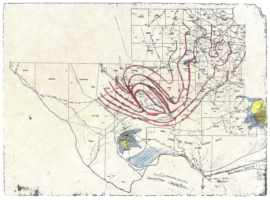
Red Bed map that discovered the south half of the Central Basin Platform. The Red Bed map is an isopach map of Late Triassic red beds. The map shows a pronounced regional thin across the south part of the Central Basin Platform. This is the most important map ever drawn with respect to the Permian Basin.
The Permian System was first described in outcrops near Perm, Russia in 1841 by Scottish geologist Sir Roderick Impey Murchison. Hence the name “Permian.”
We use cookies to enhance your browsing experience and analyze site traffic. By clicking Accept, you consent to our use of cookies. See our Privacy Policy for details.
 Robert F. Lindsay
 Robert C. Trentham